This Special Website for Climbing Mt. Fuji, for which local volunteers including guides have provided insights, is intended to offer behind-the-scenes details on Mount Fuji / Fuji-san (富士山) —the highest and arguably the most noteworthy mountain in Japan— including climbing accounts and feedback along with other natural and cultural background giving more depth to your experience of this historic volcanic cone.
Please also refer to the "Offical Web Site for Mt. Fuji Climbing" provided by a joint govermental entity for current operating conditions and relevant reports.
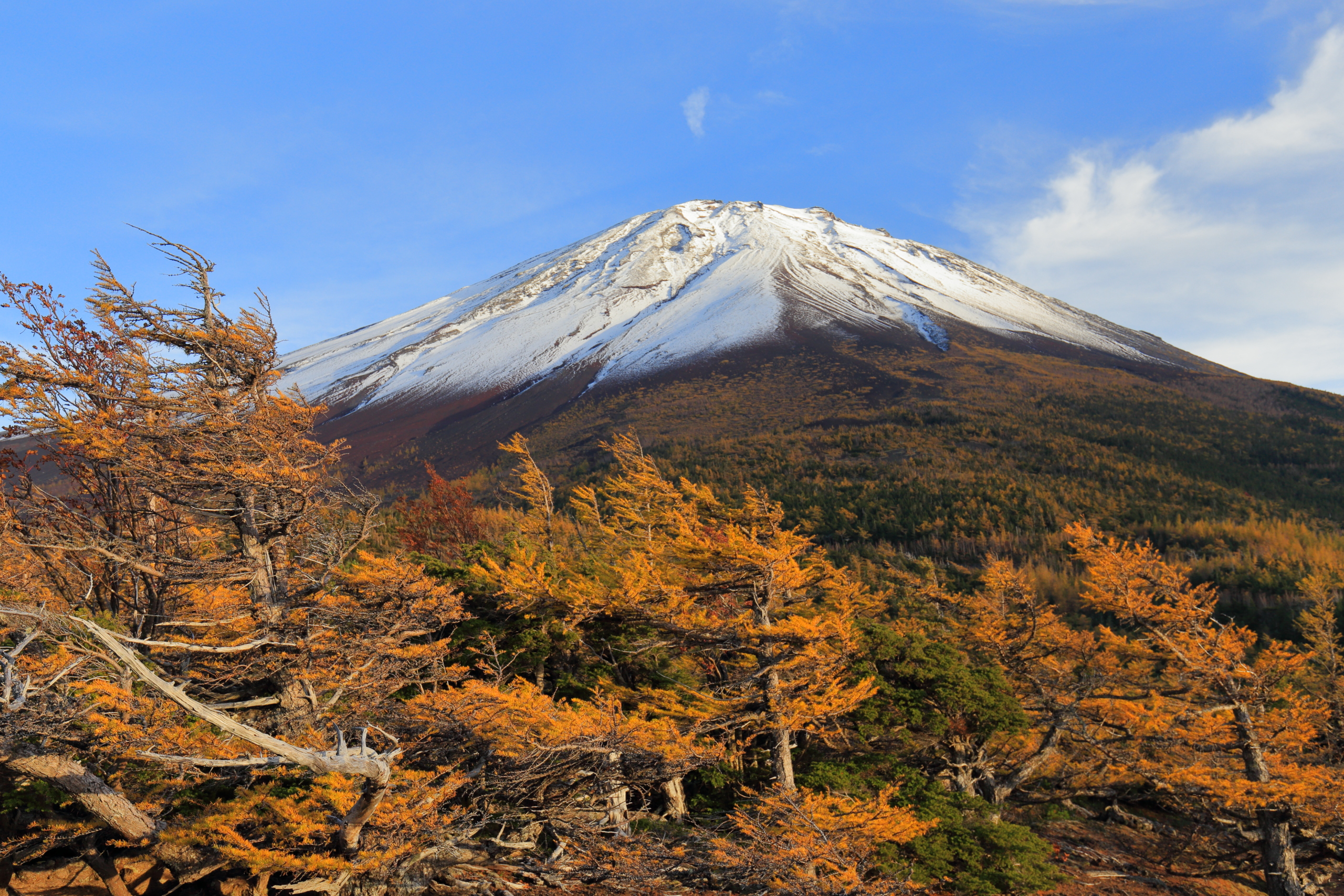
Quick facts on Mt. Fuji
| Altitude | 3776m ASL (Above Sea Level) at Peak Kengamine |
|---|---|
| Peak location | 🌏35°21′38″N 138°43′39″E |
| Conservation status |
|
| Major trailheads/ routes | Fuji-Yoshida, Suabshiri, Gotemba, and Fujinomiya Trails connected to Ohachi-meguri (summit crater loop) |
| Public season | |
| Temperature | Mean 5.3℃ [2.8–8.0℃] at the top (during July) |
| Trailhead elevation | 1450–2400m ASL |
| Cummulative elevation gain | +1500–2350m |
| Total horizontal distance | 5.0–10.5km ascent, 5.0–8.5km descent |
| Course time | 5:30–8:30 ascent (to the heighest point), 4:00 descent [excluding rests] |
| Days required | 1–2 days |
| Approach time | 1–1.5h (from the foot area to a trailhead) |
| Access time | 2–2.5h (from major cities to the foot area) |
| Admission fee | Free (Contribution of ¥1000 may be requested) |
| Total basic costs | ¥2000–17000 from the foot area |
Note: Above data is subject to change or variation, depending on the itinerary and other conditions, so please check further for practical details.
Overview map for visiting Mt. Fuji
The following map, convenient for overviewing the logistics for climbing Mt. Fuji, includes: major or useful trails, trailheads, terminal railway stations, parking lots (where public transport is available), and key railway and highway interchanges. Click each icon to see more information.